rareoldprints.com


Search

If you know the reference number
enter it here:


If you enter more than one word
it will be treated as phrase.

Insert "and" or "or" between words to search for the words in any order.

Refine your search here or build another search.
Displaying 10 to 20 of 20 - Next - Previous
79%
An Accurate Map of the County of Bedford Divided into its Hundreds
Ref: P/13372
Region: Bedfordshire
Type: Copper
Cartographer: Bowen E
Engraver: Bowen E
Publisher: John Bowles & Son in Cornhill, T. Bowles in St. Pauls Church Yard, Robt. Sayer & John Tinney in Fleet Street
Date: 1760

79%
An Improved Map of Wiltshire Divided into its Hundreds
Ref: P/1816
Region: Wiltshire
Type: Copper
Cartographer: Bowen E
Engraver: Bowen E
Publisher: John Bowles... & Robt. Sayer
Date: 1765

79%
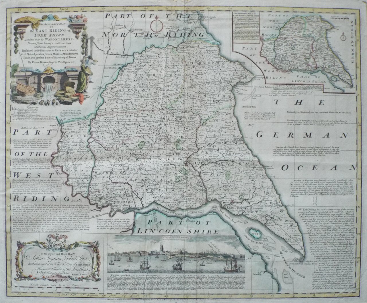
An Accurate Map of the East Riding of York Shire Divided into its Wapontakes &c.
Ref: P/16404
Region: Yorkshire
Type: Copper
Cartographer: Bowen E

Sold
79%
An Improved Map of Wiltshire Divided into its Hundreds
Ref: P/2551
Region: Wiltshire
Type: Copper
Cartographer: Bowen E
Engraver: Bowen E
Publisher: John Bowles... & Robt. Sayer
Date: 1765

75%
An Accurate Map of the County of Essex
Ref: P/11056
Region: Essex
Type: Copper
Cartographer: Gibson
Engraver: Bowen E
Publisher: London. Printed for Rob Wilkinson 58 Cornhill, Bowles & Carver 69 St. Paul's Churchyard, and Laurie & Whittle 53 Fleet Street.
Date: 1828

70%
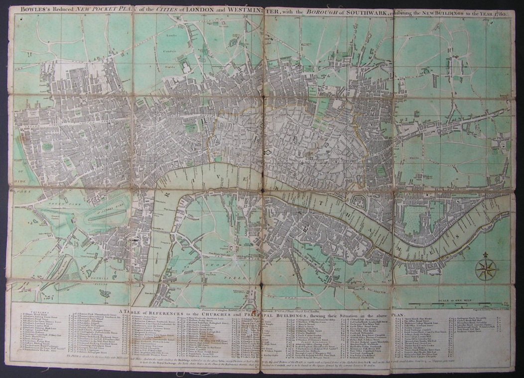
Bowles's Reduced New Pocket Plan of the Cities of London and Westminster, with the Borough of Southwark, exhibiting the New Buildings to the Year 1780
Ref: P/4377
Region: London
Type: Copper
Publisher: Carington Bowles
Date: 1780

69%
A Modern Map of Dorsetshire
Ref: P/3352
Region: Dorset
Type: Copper
Cartographer: Ellis J
Engraver: Ellis J
Publisher: Carington Bowles
Date: 1765

Sold
69%
A Modern Map of Wilt Shire Drawn from the latest Surveys Corrected & Improved by the best Authorities
Ref: P/8011
Region: Wiltshire
Type: Copper
Cartographer: Ellis J
Engraver: Fowler W
Publisher: Carington Bowles & Robert Sayer
Date: 1768

Not for sale
69%
A Modern Map of Wiltshire Drawn from the latest Surveys Corrected & Improved by the best Authorities
Ref: P/8170
Region: Wiltshire
Type: Copper
Engraver: Ellis, Joseph
Publisher: Carington Bowles & Robert Sayer
Date: 1768

68%
An Accurate Map of Pembrokeshire Drawn from an Actual Survey.
Ref: P/15251
Region: Pembrokeshire
Type: Copper
Cartographer: Kitchin T
Publisher: Carington Bowles, Robt Sayer, Robt Wilkinson

Sold

Displaying 10 to 20 of 20